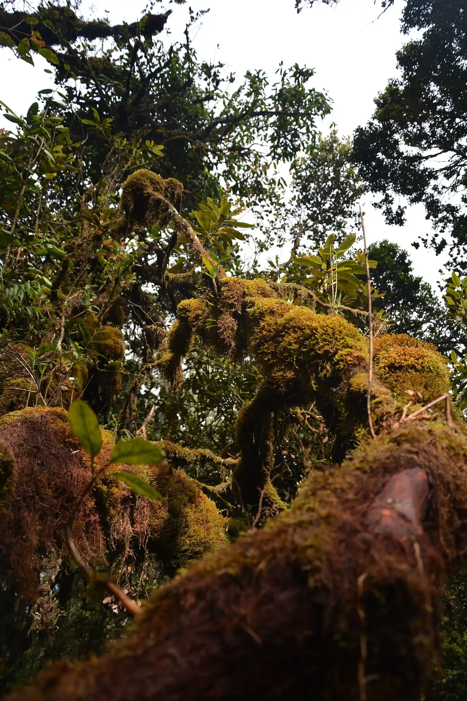
Day tour
Cameron Highlands and Mossy Forest Half Day Tour
- Pickup included
- Free cancellation
From US$18.35
See dates on Klook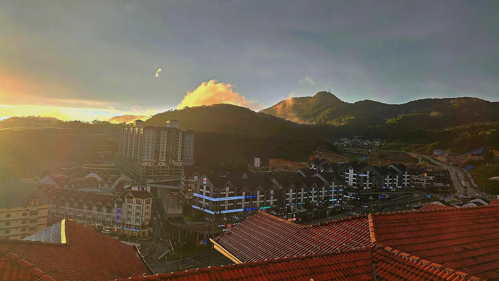
The town is in Cameron Highlands, in Pahang3, and it’s the second-largest township2 on the plateau. It covers less ground than Tanah Rata but is the most densely developed: the centre is a tight cluster of shophouses with restaurants, stores and budget hotels2.
The town takes its name from nearby Mount Brinchang (Gunung Brinchang)2, and the road up that mountain starts here. Distances from town:
| From town | Distance |
|---|---|
| Tanah Rata | |
| Kea Farm (north) | |
| Mountain summit, by road | 12 km4 |
| Ipoh (Cameron Highlands as a whole) | |
| Kuala Lumpur (Cameron Highlands as a whole) | about 200 km5 |
The town is the starting point for many farms, including strawberry farms3. Most of what you’ll visit sits along the main road towards Kea Farm, or up the mountain road.
Attractions in and around town
| Place | Where it is | Good to know |
|---|---|---|
| Mossy Forest | Top of the mountain, 12 km by road | Boardwalk through the forest |
| Kea Farm market | Kea Farm, 2 km north | Open-air market |
| Big Red Strawberry Farm | Walking distance of town | – |
| Kok Lim Self-Plucking Strawberry Farm | Jalan Sungai Burung, between Kea Farm and town | Time Tunnel Cafe inside |
| Rose Centre | Rose Valley Village, Kea Farm | – |
| Cactus Valley | Pekan Lama | – |
| Butterfly Garden | 5 km north on the main road | – |
| Sam Poh Temple | South of town | Built 1972; Trail 2 starts here |
| Cameron Highlands Golf Course | Between Tanah Rata and town | – |
Wikivoyage; Wikipedia
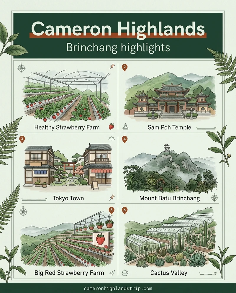
Map of the attractions in Brinchang, numbered as in the list below.
Drawn to scale from the attractions' Google Maps locations.
The Mossy Forest is at the top of Mount Brinchang, where a boardwalk runs through it3. Getting there means the winding road up from town, which Wikipedia calls the highest motorable road in Malaysia2.
Wikipedia; Tourism Pahang
On foot, Trail 1 runs from town to the 2,032 m peak3. For more on the walk itself, see the Mossy Forest walk and access guide.
Day tour
From US$18.35
See dates on Klook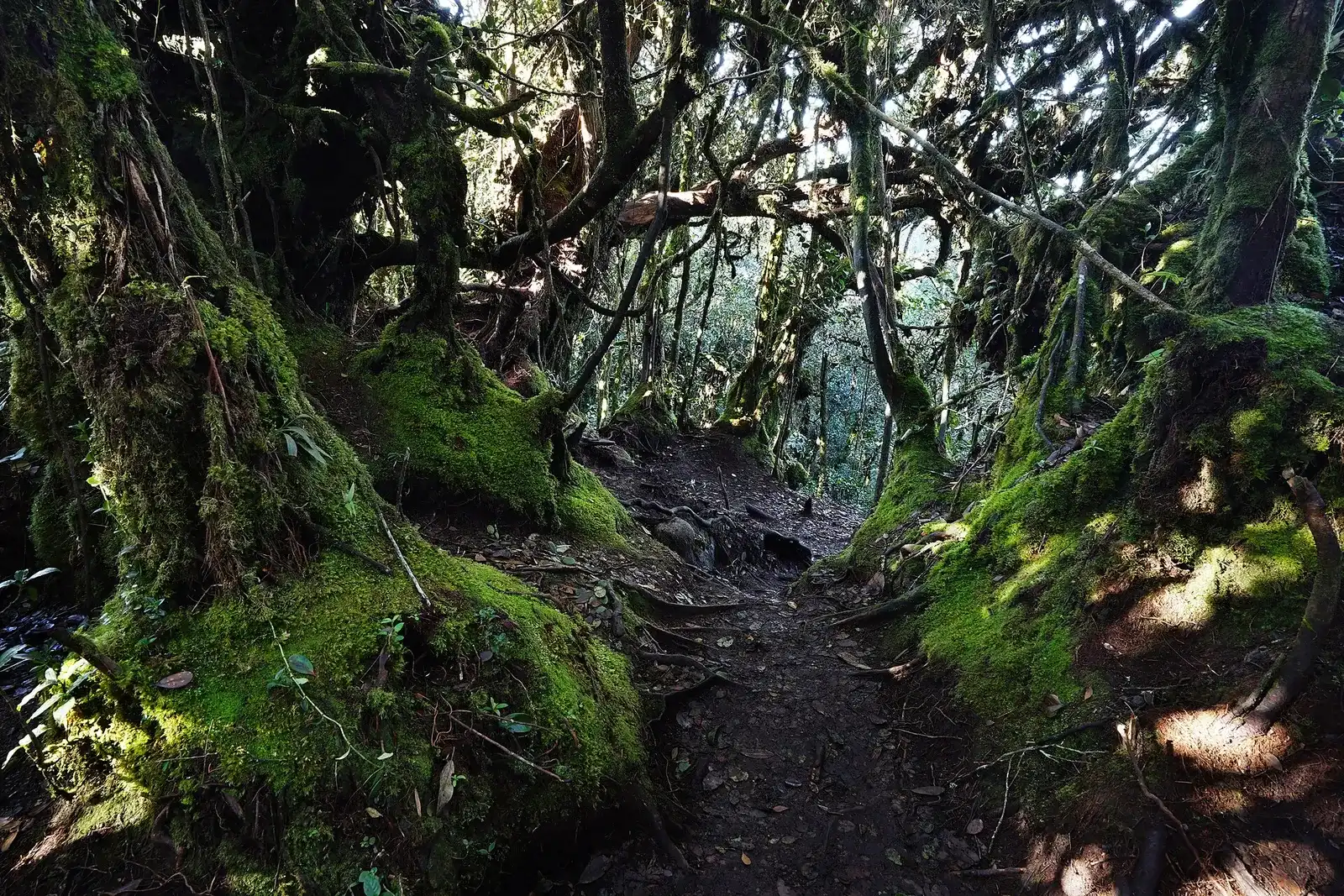
Day tour
From US$33
See dates on ViatorKea Farm is the farm belt 2 km north of town3, and its open-air market is the easy stop for fresh produce. The Kea Farm market guide covers the stalls in more detail.
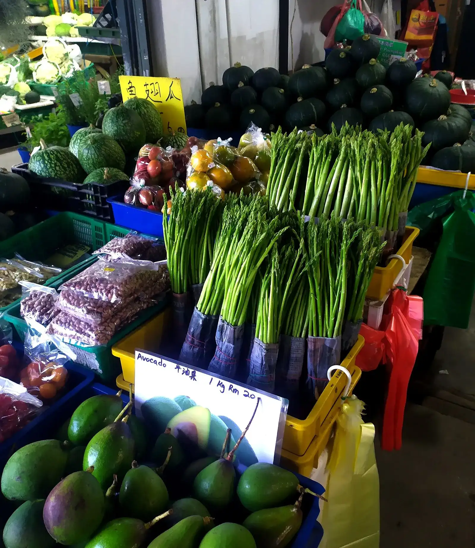
Kea Farm is also home to the Equatorial resort and the Rose Centre at Rose Valley Village3. Planning a lavender fields and strawberry farm visit? Start with the Lavender Garden page.
The town’s night market is where you’ll want to eat at the weekend: it’s known for street food, souvenirs and fresh strawberries2. Your options in and near town:
Stays in and near town run from shophouse budget rooms to the biggest resort on the plateau:
Rates as listed by Wikivoyage, not confirmed with the hotels. Brinchang Hotel has no listed price.
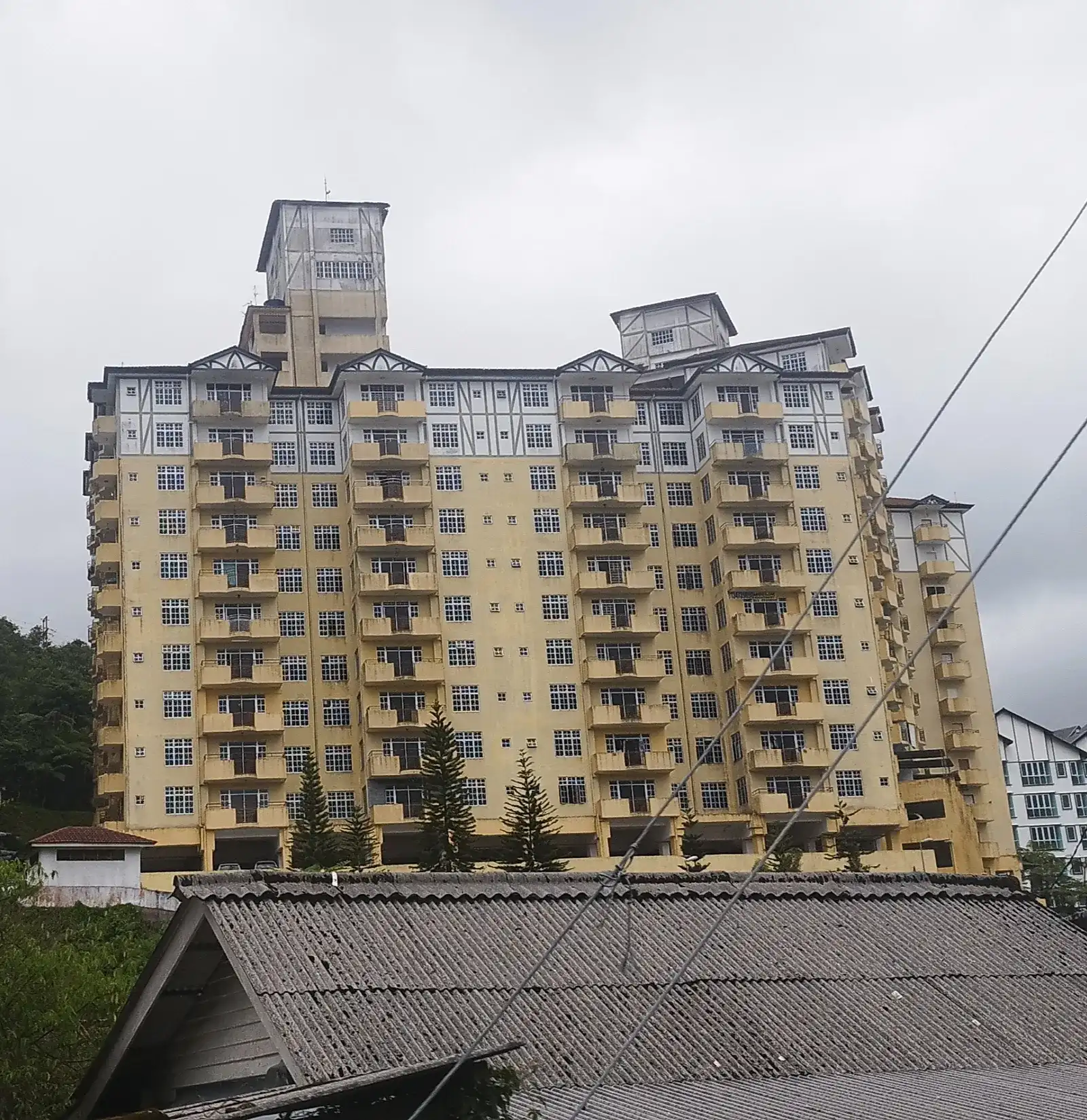
Travelling as a family or a group? The family and group accommodation guide covers the whole plateau, and family homestay stays in Cameron Highlands has the private-home options.
Rather sleep outdoors? Compare Cameron Highlands glamping options compared with the Cameron Highland camping page.
Take a bus to Tanah Rata, then the tourist bus up the hill: Cameron Highlands can only be reached by road1.
Buses leave Terminal Bersepadu Selatan between 8:30AM and 3:30PM and take about 4½ hours to Tanah Rata.
Public buses run from Tapah to Tanah Rata; Tapah connects to the railway at Tapah Road.
Tourist buses run every two hours between Tanah Rata and Kampung Raja, stopping in Brinchang.
Budget about RM48 (checked October 2026) for the bus from Kuala Lumpur and RM2-53 a ride on the tourist bus. The same tourist bus is your ride on to Kea Farm, Tringkap and Kuala Terla3.
Overnight buses from Singapore stop at Brinchang Hotel3, which drops you in the centre. Driving, you’ll stay on Federal Route 592, the main road linking all the townships and settlements.
Mild all year but rainy, with a mean daily high of 21.6 °C and a mean daily low of 13.6 °C.
No, it's the second-highest. Gunung Irau tops it at 2,110 m.
Photos: Wikimedia Commons and Pexels. Authors and licences: image credits